King Edward Point Magnetic Observatory
| Name | King Edward Point |
|---|---|
| IAGA code | KEP |
| Location | South Georgia and South Sandwich Islands |
| Latitude | 54.282° S |
| Longitude | 323.507° E |
| Elevation | 7m |
| Geomagnetic Latitude | 46.570° S |
| Geomagnetic Longitude | 30.064° E |
| Orientation | HDZF |
| In Operation since: | 2011 |
| INTERMAGNET member since: | 2013 |
Geomagnetic coordinates are approximations calculated using the 13th generation IGRF at epoch 2024.5.
Background
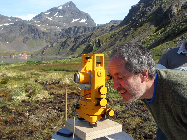
King Edward Point (KEP) magnetic observatory became operational in February 2011. This new observatory occupies the same site as an observatory run by the British Antarctic Survey (BAS) between 1975 - 1982. The observatory is based at King Edward Point, immediately to the north of the BAS / South Georgia government base, at the foot of Mount Duse.
This observatory fills a significant gap in the global network of magnetic observatories allowing better monitoring of the South Atlantic Anomaly and of changes occurring deep within the Earth.
The observatory was installed by the British Geological Survey with support from the British Antarctic Survey and The Government of South Georgia and the South Sandwich Islands.
King Edward Point magnetic observatory is part of the INTERMAGNET network.
Data
Articles
- Poster - South Georgia Magnetic Observatory (2011)
- South Georgia Newsletter - " Magnetic observatory in South Georgia to track the South Atlantic Anomaly" (2011)


